Where should a 10 MW plant go near Redding?
- Finds the placeRedding, CA
- Sizes the search84 km
- Prices every cluster1,976 kept
A site east of Redding clears 10 MW, with 78,840 BDT a year inside 84 km.
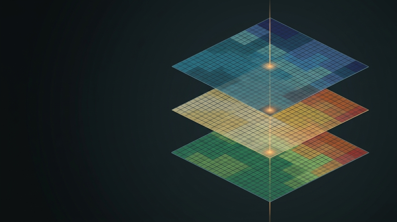
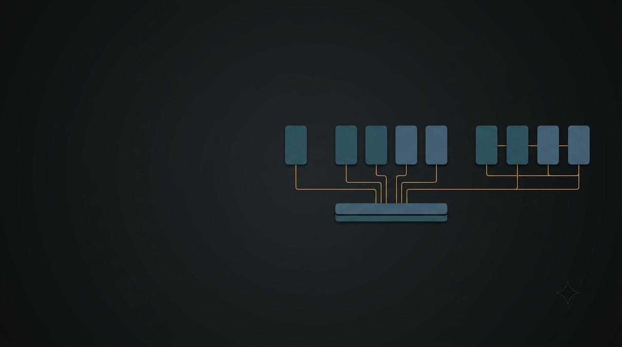
FRED's spatial agents call real models and map data, then show you every step.
A site east of Redding clears 10 MW, with 78,840 BDT a year inside 84 km.
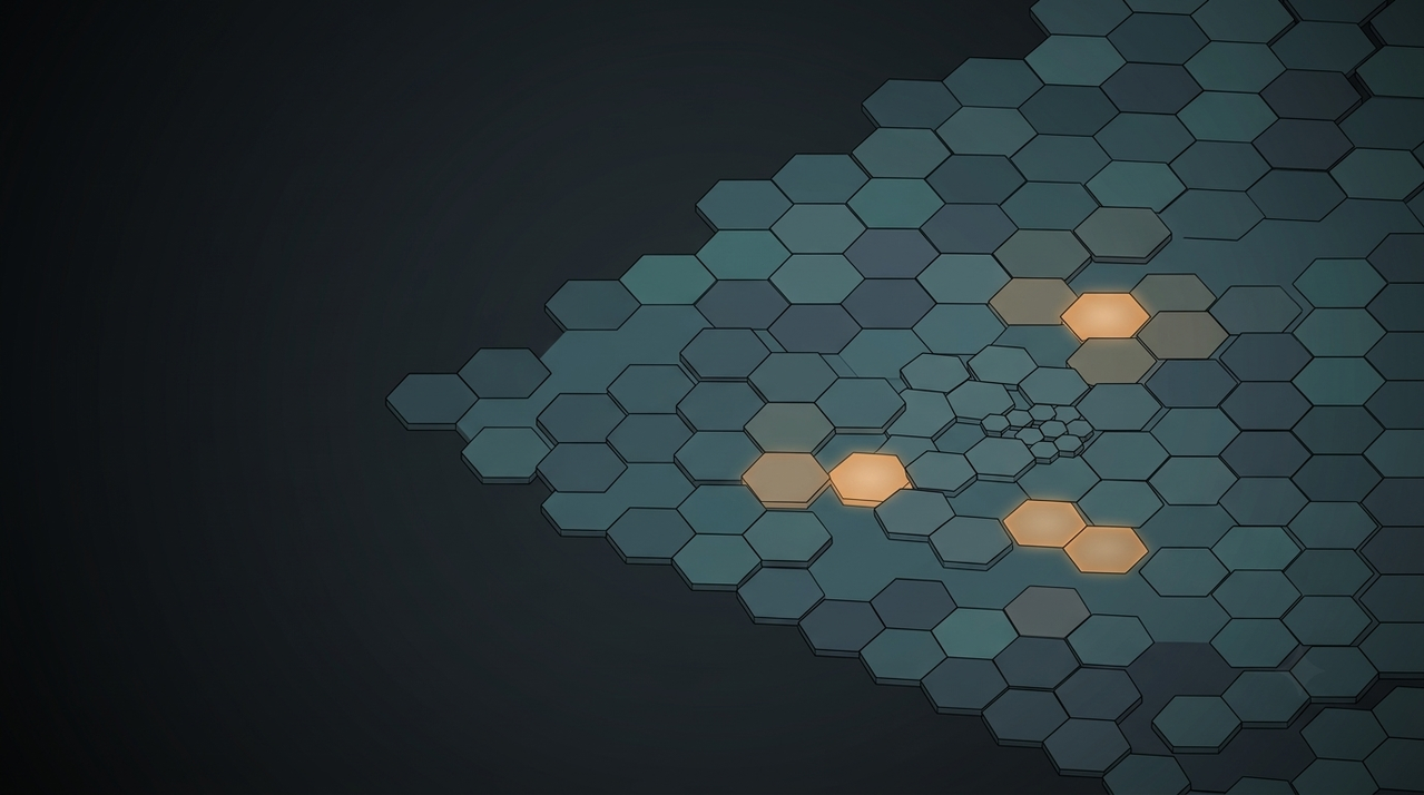
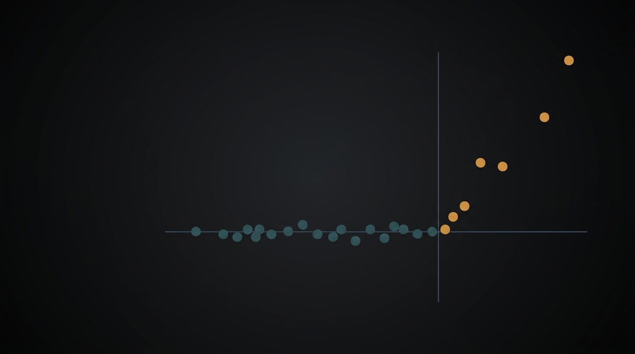
Putting 5% of the weight on fire risk buys 6.9 times more risk reduction than it costs.
Widening from 84 to 100 km adds roughly 14k BDT a year, at a 9% premium per ton.
Where should I put a 10 MW facility near Redding, and what will the feedstock cost?
A site east of Redding clears 10 MW inside an 84 km radius. At alpha = 0.95, which puts 5% of the objective on fire risk, 1,976 clusters deliver 78,840 BDT/yr at $87.40/GT. That 5% given up on cost buys 6.9x more risk reduction than it costs. Widening to 100 km adds roughly 14k BDT/yr at a 9% premium.
In this run, BDT is bone-dry tons of biomass, GT is green tons, and alpha sets how much the search weighs cost against wildfire risk.
Find the place, call the models, weigh the options, show the work.
Every number comes from a model or a map query.
A place name becomes coordinates and a search area.
Shows what each choice gives up.
Projects the answer year by year.
Every tool call streams in as it runs.
New data layers, the same agent loop.
Built on USDA FSim, C-BREC, FRCS and OSRM.

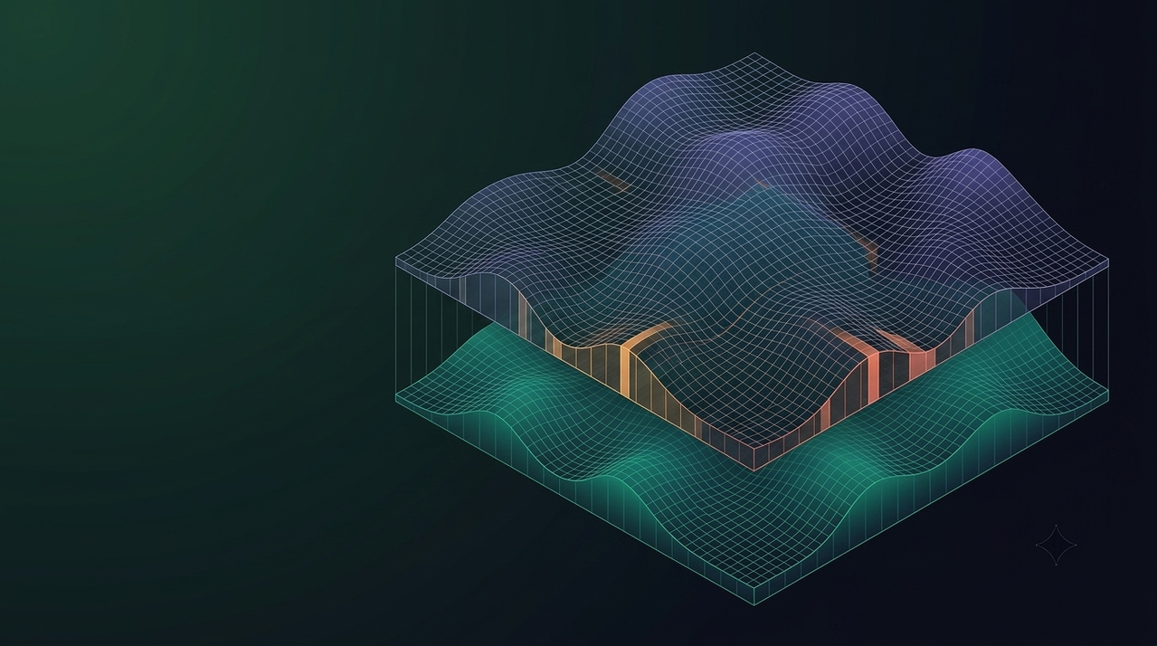
Standard RAG retrieves passages. Some questions need numbers that do not exist until you compute them. CS-RAG retrieves from three model surfaces over 11.9M spatial records, then computes before the model writes anything.

Asking "where in Northern California" means aggregating millions of spatial records with no filter to narrow them. Pre-aggregating into three hexagon resolutions turns that into three lookups under 2 ms each, and the coarse answer constrains the fine one.

How splitting an agent's tools between database reads and computation over the cached result set halved latency on parameter-change turns.

A deterministic simulator gives you unlimited labels with no measurement noise. That changes what R² means, how you sample, and what counts as validation.

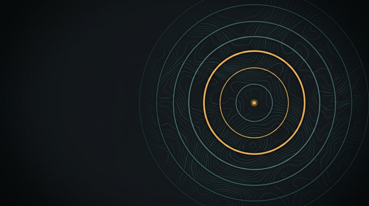
A seven-step geometric binary search search sizes a spatial radius query in 1 to 3 seconds, against 8 to 25 seconds for running the pipeline to find out.

Precision@k needs documents. With a deterministic simulator as ground truth, accuracy becomes error against simulation across benchmark queries
No. FRED is free for research and planning. You sign in with a Google account, which tells us who's using it and lets you keep your runs.
Partly. The CS-RAG architecture underneath it is open source on GitHub. The FRED app isn't, because it depends on proprietary datasets and on agent tools we keep closed for security.
Not yet. The first agent covers California, because its data (C-BREC and the USDA FSim fire rasters) stops at the state line. The agent loop itself has no region built in: a new place needs its own data layers.
Compositional Spatial RAG. Instead of retrieving text, the agent retrieves map data and the outputs of prediction models, combines them, and computes the answer from what it retrieved. It's the reason every number in an answer can be traced to a tool call.
Citation guidelines and references are in the docs, at docs.biofred.us.
Not yet. We're writing the API documentation and deciding which endpoints to open first.
A small team at 8W Research.
Send feedback, bug reports, or code for the CS-RAG architecture to fred@8wr.org.